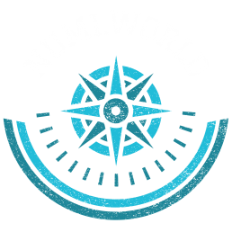
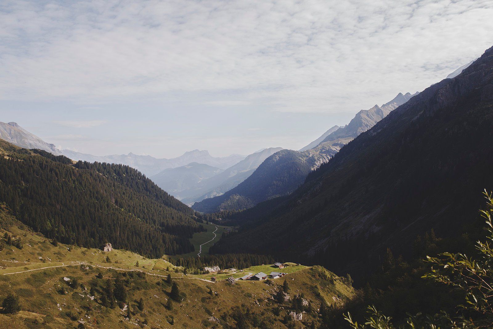
 The Tour du Mont Blanc is an iconic trek that has been a favorite among hikers, climbers and mountain lovers for centuries. This legendary route circles the highest peak in the Alps, Mont Blanc, and passes through three countries – Italy, France and Switzerland. It is considered one of the most beautiful hikes in Europe, with its stunning alpine landscapes, glaciers and high mountain passes. At 170 kilometers (105 miles) long, this grueling hike takes approximately 8 to 14 days to complete with an elevation gain of over 10,000 meters (33,000 feet). Along the way you are rewarded with jaw-dropping views of villages tucked away in remote valleys and snowcapped mountain peaks soaring above lush meadows. The Tour du Mont Blanc is a classic alpine experience unlike any other.
This classic alpine trek isn’t just for experienced mountaineers; thanks to its plethora of well-marked trails and numerous refugios en route it can be enjoyed by anyone looking for a challenging but rewarding adventure in one of Europe’s most beautiful regions. With so much variety across its winding route there really is something for everyone; from tranquil lake reflections speckled in the sunshine to awe-inspiring views from mountain passes – the Tour du Mont Blanc really does offer an incredible journey into some truly spectacular places!
Table of Contents
Trail stats at a glance

- Distance = 105 mi (170km)
- Elevation Gain – 33000 feet (10000 m)
- Elevation Loss – 33000 feet (10000 m)
- Highest point – Grand Col Ferret 8307 feet (2532 m)
- Duration – 8 to 14 days.
- Difficulty – it is either physically hard or very hard. It will depend on how many days you plan to finish it. Stay and eat in huts or carry your own gear
- Starting/Finishing point – Chamonix France, Courmayeur in Italy, or Champex in Switzerland
- Camping – possible.
- Average mi per day – 7.5 mi if you hike 14 days
- Total cost – $350 p.p. (we camped and carried our own food + cheap flights)
- Gear weight – 15 kg
- Getting to the start – accessible using public transport
- Replenishment – on average every 3 days
- Water – almost all the mountain streams are drinkable
- Guidebook – the Tour of Mont Blanc by Cicerone or Andrew McCluggage (has all the maps you need)
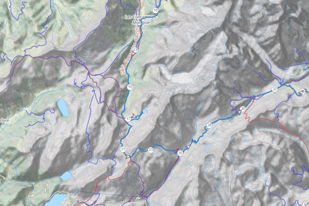
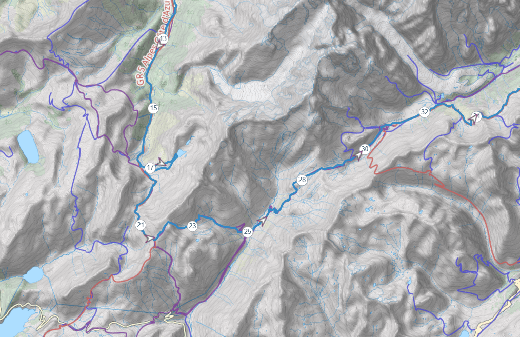
- Campsite Map – Download
- Trail Map – Download
Different types of tours/hikes:
Guided tour
Whether to hike the Tour du Mont Blanc self-guided or guided is one of the first and biggest decisions you need to make after you’ve decided to trek the Tour du Mont Blanc.
Hiking Tour Du Mont Blanc with a guide via a tour company is probably the best option if you do not want to be responsible for anything. Since they will book your huts, they will pick you up from the airport, they will arrange bag pickups from one to another hut, and will provide a guide who knows the trail like his own backhand. Best of all you will only need to carry a daypack every day.
The major vice of this type of hiking is the price. It will be somewhere around 2000 Eur per person. Flights are not included.
Self-guided tour
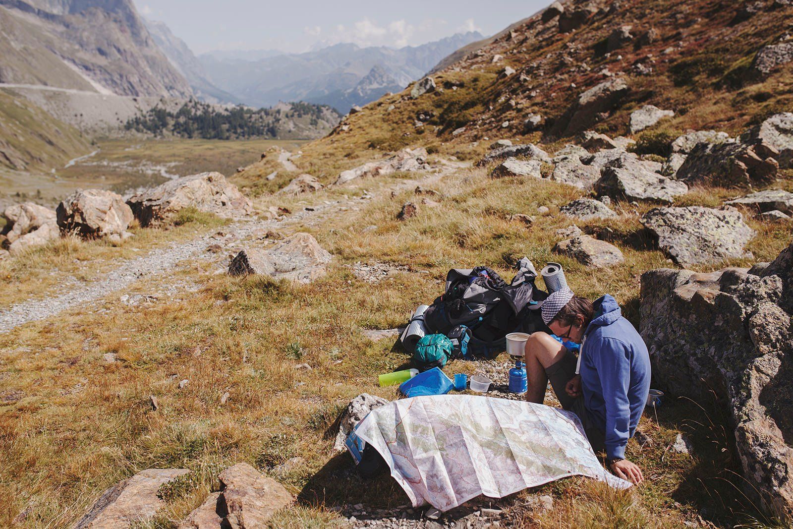
Hiking Tour Du Mont Blanc self-guided is a great way to explore the beautiful mountain region in France, Italy, and Switzerland. It is easy to follow since it is well-marked, but it is important to have a Cicerone guidebook to ensure you are on the right track.
Additionally, it is wise to bring a paper map with you as electronics can sometimes fail. You will also need to decide if you are wild camping or staying in huts along the way and if you are bringing your own food or eating in the huts.
The more you rely on the huts for things like sleeping and meals, the more expensive your trip will be.
Read on to find out what you need to know if you are hiking self-guided.
Best time to visit
The best time to do the Tour du Mont Blanc is in the summer months: June, July, and August. The days are the longest and warmest, with the least rainfall, and the trails are buzzing with life
Getting there
Since the Tour du Mont Blanc is a circular route, there are many starting points on the route. The most common, by far, is Chamonix or the nearby town of Les Houches on the French side. However, you can also choose to start at any of the other main towns en route, like Courmayeur in Italy, or Champex in Switzerland.
The easiest and most convenient starting point is Chamonix via Geneva.
How to get to Chamonix via Geneva Airport
There are multiple transportation options available for getting to Chamonix, a city located 103 km away from the second largest airport in Switzerland, Geneva International Airport.
Shuttle transfer
You can reserve a one-way or round-trip transfer to and from GVA airport either from a hotel you will be staying in or from private transfer services providers. You can either book a private shuttle or a shared one.
The price for a shared shuttle transfer per person will cost around 40EUR.
Train
The train ride from Geneva Airport to Chamonix can take anywhere from three to four hours, depending on the route you choose (either via Annemasse in France or via Martigny in Switzerland and then Vallorcine). There may be multiple connections and transfers, including some bus rides. Tickets for travel on the Swiss rail network can be more expensive if you don’t have a rail card (such as a half-price card, a network card, or a day pass). Keep this in mind when planning your trip.
You can book the train tickets on the Trainline website – the price varies depending on how early you book the ticket
BUS
France‘s national coach service companies operate out of Geneva Airport and offer regular coach services to and from the airport. However, during busy periods, ski and hold baggage carriage may not be guaranteed. The journey to Chamonix, which takes between one hour and 35 minutes to one hour and 50 minutes, can be longer due to border controls and intermediate stops along the motorway. The final stop is at the bus station in Chamonix Sud, from where you will need to find your own way to your accommodation, either by walking or taking a local bus. Keep in mind that you will need to allow enough time for check-in and security when booking your departure time.
Busses can be booked via these 3 sites –
How to get to Chamonix via Lyon Airport
While it is possible to get to Chamonix from Lyon Airport, the journey is more complex and longer than going from Geneva Airport.
The two most straightforward options for getting to Chamonix from Lyon Airport are by bus or train.
Train
The train ride from Lyon Airport to Chamonix typically takes around six hours and involves making a few train connections.
You can book tickets on Trainline website
Bus
The fastest option for getting from Lyon to Chamonix is by taking a direct bus, which takes approximately three hours.
You can check the times for buses at Rome2rio and The Trainline website.
How to get to Courmayeur via Turin & Milan Airports
There are several airports near Courmayeur that you can use as your point of arrival. The airports closest to Courmayeur are located in Turin (150 km), Milan Malpensa (212 km), and Milan Linate (235 km).
Bus
Courmayeur is connected to Turin and Milan by direct bus lines. All buses arrive and depart in Piazzale Monte Bianco in Courmayeur.
Train
To get to Courmayeur by train, you can take a train from Turin or Milan to Aosta, and then transfer to the Aosta-Courmayeur line buses for the final leg of the journey.
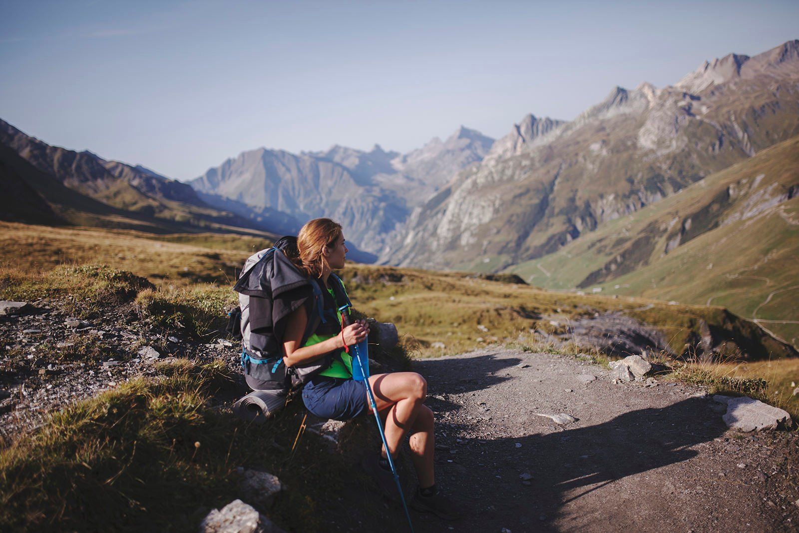
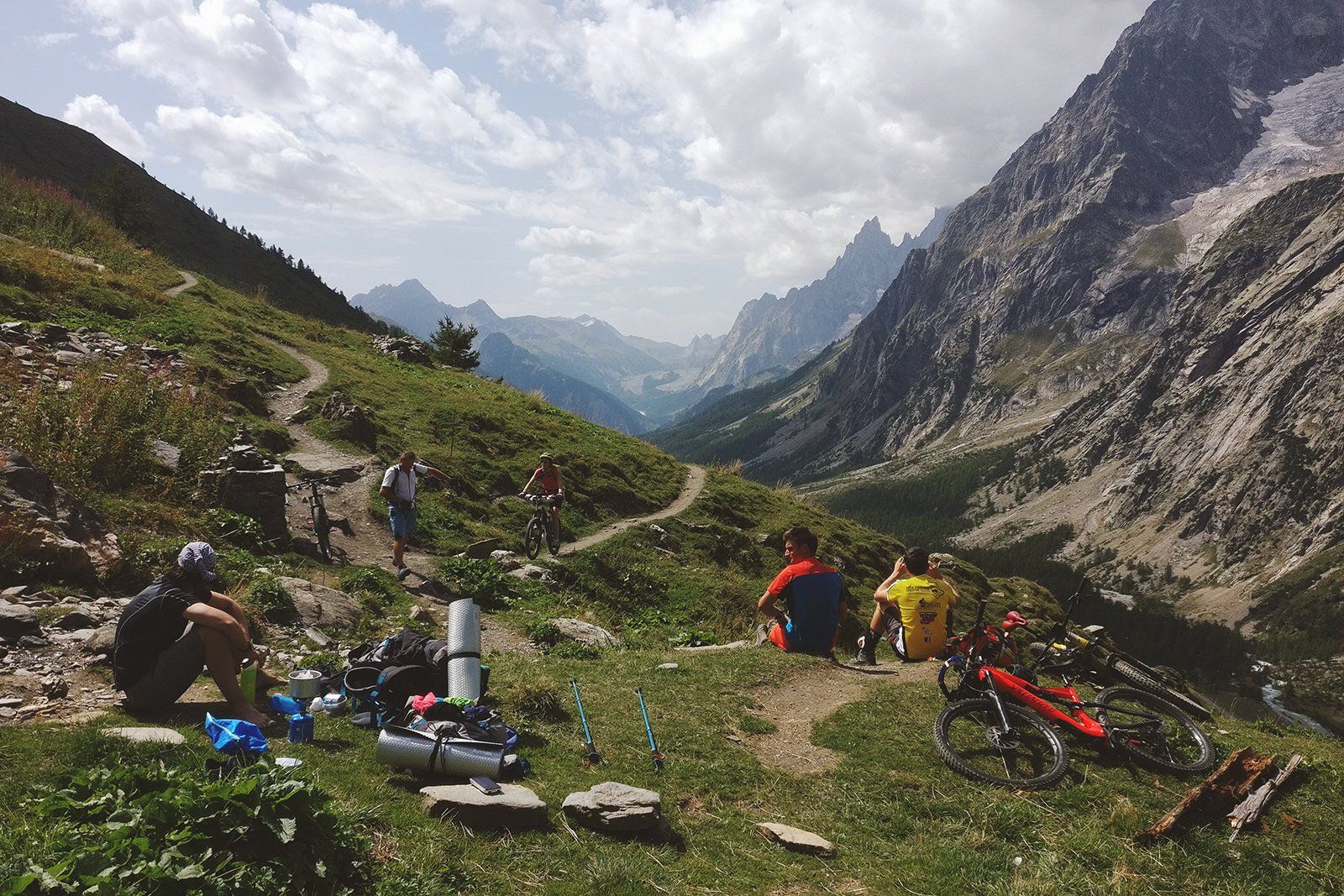
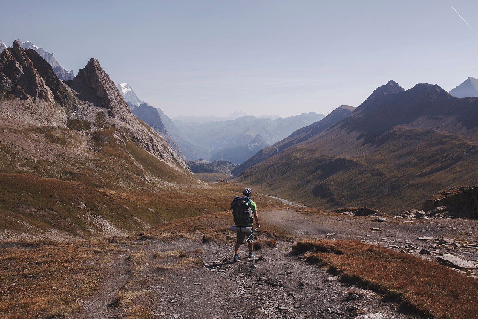
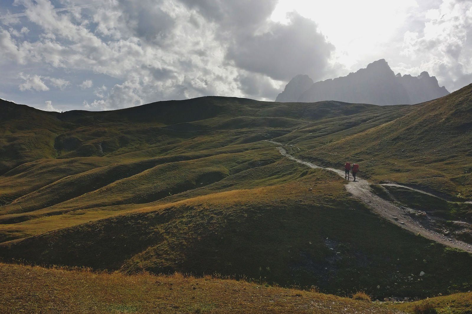
What to expect on the trail
Hikers
On the trail, you may encounter other hikers at various times of the day. In the morning, you can expect to see a lot more trekkers since they all tend to leave around the same time, with the number decreasing as the day goes on and approaches lunchtime. If you desire to avoid other hikers and have a more peaceful hike, it’s recommended to start your hike early around 7 am, or later in the day around 11 am. These times tend to have fewer hikers on the trails. Thou keep in mind the later you leave the larger chances you might encounter rain before your next stop.
Grocery stores
If you plan to camp and cook your own food for the duration of your hike, you’ll be glad to know that the trail passes through a few villages. This means that you don’t have to carry enough food for the entire hike, as you’ll have the opportunity to restock on supplies in these villages. This can be a convenient option if you don’t want to carry all of your food with you on the trail.
Villages where you can restock:
- Chamonix – Carrefour at 339 Rte Blanche, 74400 Chamonix-Mont-Blanc, France
- Les Houches – Carrefour at 32 Pl. de la Mairie, 74310 Les Houches, France
- Les Contamines – Carrefour at 109 Rte de Notre Dame de la Gorge, 74170 Les Contamines-Montjoie, France
- Courmayour – Carrefour at Via Circonvallazione, 33, 11013 Courmayeur AO, Italy
- Champex – Edelweiss Market Champex-Lac at Rte du Lac 9, 1938 Champex-Lac, Switzerland
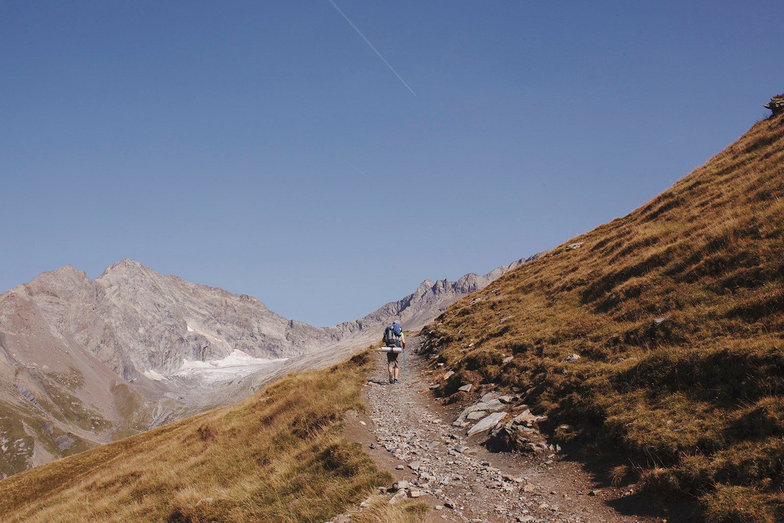
Trail marking

The Tour du Mont Blanc (TMB) is a well-marked trail, so it is relatively easy to follow. The trail is marked with painted markings (usually red and white) on rocks and trees, and there are also signposts along the way to help you stay on track. In addition, the route is well-known and well-traveled, so it is not difficult to find information or ask for help if you get lost or have any questions. That being said, it is always a good idea to carry a map and compass and to have some basic navigation skills when hiking, as conditions can change and markings can sometimes be hard to see.
Trail difficulty
While the Tour du Mont Blanc (TMB) may not require any rock climbing or traversing of large edges, it can still be a challenging hike due to the long hours of hiking, and constant ups and downs. The majority of the trail involves either climbing up or down, which can be physically demanding.
If you’re planning on completing the trail in nine days or less, it’s important to be in good physical shape, as it can be a challenging and physically demanding experience.
Every day, you’ll need to climb at least once about 3280.84 ft up and 3280.84 ft down, so it is essential to be prepared for that level of exertion.
If you’re not physically fit, it may be better to consider a longer timeframe for completing the TMB.
Weather
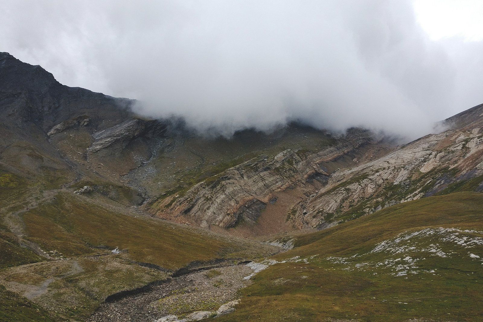
The weather in the mountains is a fickle thing. One moment can be sunshine next pouring thunderstorm. Thus you must be prepared for it.
It’s important to be prepared for any type of weather when planning a trip to the mountains, especially in the Alps.
Be sure to treat the mountains with respect and caution, even if the weather forecast looks good.
If you’re planning to hike the Tour du Mont Blanc self-guided, make sure you have a compass, map, and whistle, and know how to use them.
You should also check the weather regularly in the days leading up to your trip and set out early in the morning to avoid potential thunderstorms, which are more common in the Alps during July and August.
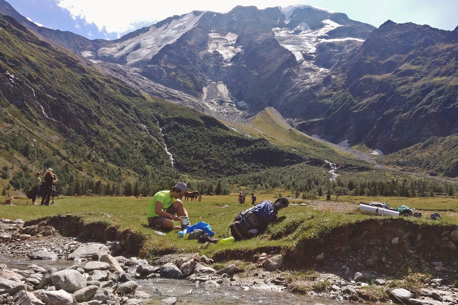
Water
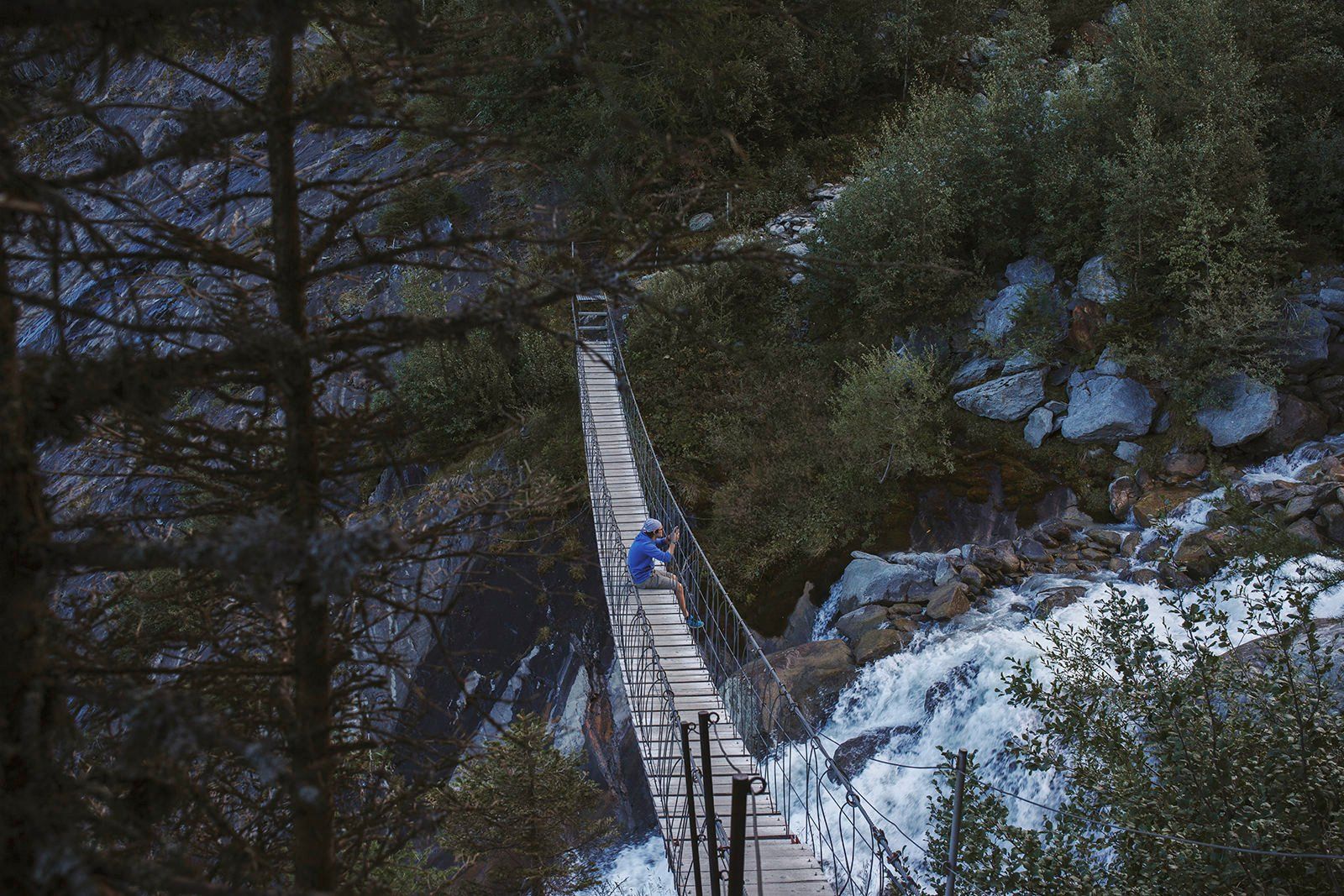
You can purchase water at every hut along the trail, and there are also plenty of mountain streams where you can safely refill your water bottles. These streams are a convenient and natural source of drinking water.
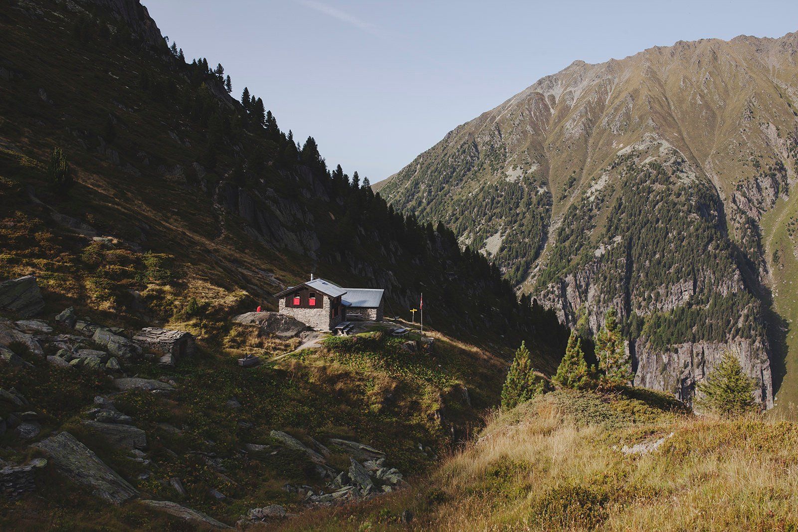
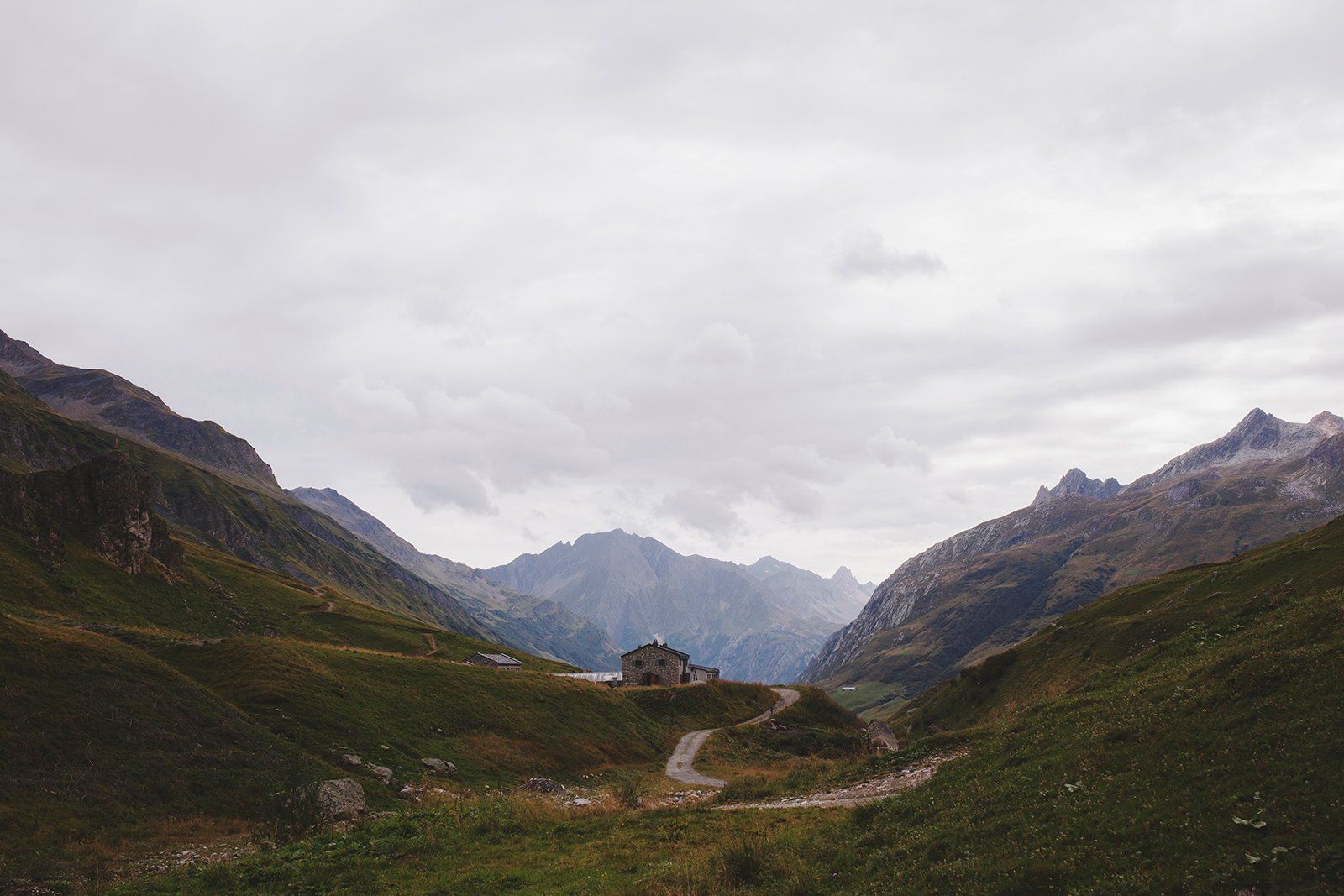
Accommodation
If camping is not your preferred accommodation option, you can choose to stay in the huts along the trail. These huts usually have bunk beds, although there may be a limited number of private rooms available at some locations. Most huts also have basic amenities such as toilets, showers (sometimes portable but sometimes full showers), and even kitchen facilities. If you’re interested in staying in a hut, it’s important to book your accommodation well in advance, at least six months before your trip, as these spots can fill up quickly.
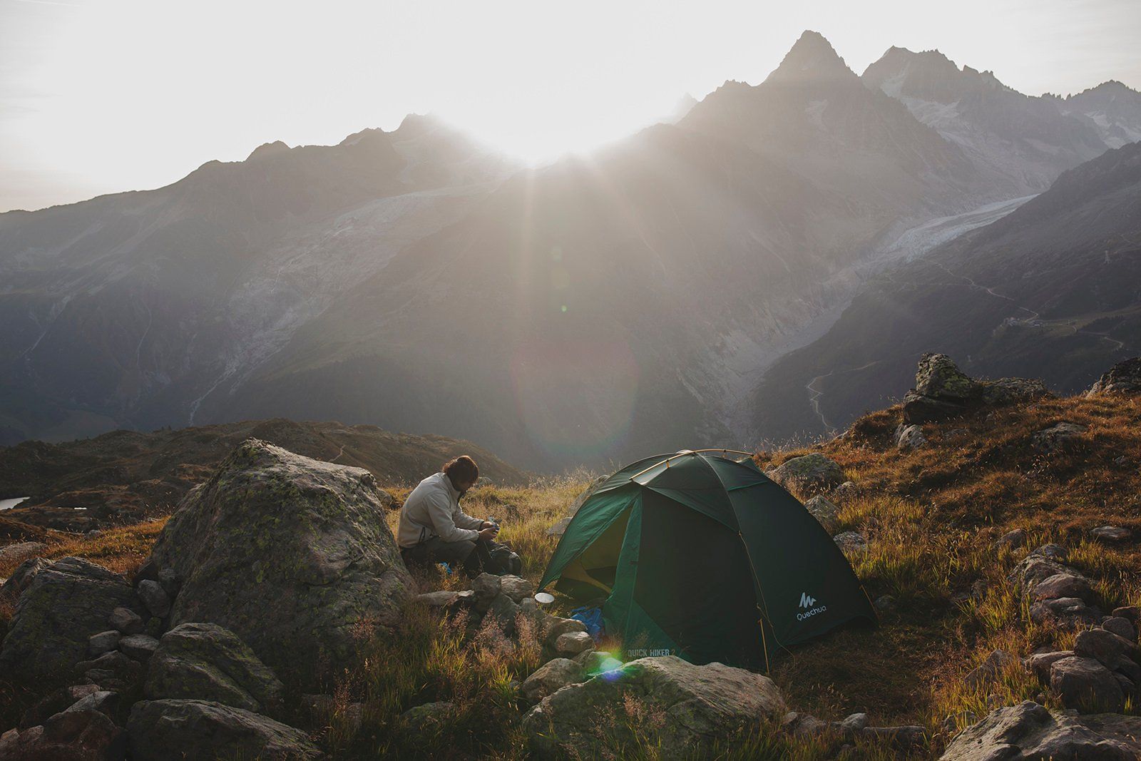
Campsites

I have compiled a list of both official and unofficial campsites that you can use for bivouacking during the trail. These campsites were selected based on their availability and convenience, as well as their accessibility to water and flat ground. When bivouacking, it’s important to pitch your tent before sunset and pack it up before sunrise to avoid any conflicts with other hikers or locals. Make sure to leave the place you find.
You can download the campsite map and their locations here.
Exit stages
If you need to end your hike earlier than planned for any reason, you can easily leave the trail from the following villages: Chamonix, Les Houches, Les Contamines, Courmayeur, Champex, and Le Tour. These villages are located along the trail and provide convenient access to transportation options that can help you continue your journey.
Packing list
If you plan to go self-guided trip you will need the following gear.
However, before leaving for the trip there are 2 essential questions you want to answer here yourself before deciding what you need to bring.
- How much money do you want to spend on the trail?
- How heavy of a backpack do you want to have?
Staying & eating in huts
If you decide to eat and sleep in the huts. You would only need to carry enough cash to cover hut fees and the bare minimum in terms of gear:
- Backpack
- Shorts
- Pants
- Tshirts (3x)
- Long sleeve shirt
- Fleece
- Windbreaker
- Rain cover
- Thermo pants (for sleeping)
- Trail runners or hiking boots
- Summer sleeping bag
- Slippers
- Hat
- Sunglasses
- Snacks
- Water bottle / Hydration Bladder
- Map
- Compass
- Guidebook – Cicerone or Andrew McCluggage (has all the maps you need)
- Walking poles
- Travel towel
- First aid kit
- Sunscreen
- Toiletries
Backpack shouldn’t weigh more than 8kg in this case.
Staying in huts but cooking your own food
If you decide to rent just a bed and cook your own food. Then you will need the same as above plus:
- Cooking set
- Food for 3 days.
Backpack shouldn’t weigh more than 11kg.
Camping
If you’re planning on camping on this multi-day, then you’ll also need:
The backpack shouldn’t weigh more than 13-15kg.
Additional things to take
- Insurance – Make sure your insurance includes helicopter transportation, in case you get injured when cars are not able to come and pick you up.
- Cash/Cards –Take enough cash to cover hut stays and your food if you are staying in them since most do not accept cards.
- Alpine Membership – If you plan to stay in the huts it is a good decision to invest in the Alpine Yearly Membership it slashes bed cost usually by half.
Our TMB 9-day trial itinerary (camping)
Tour du Mont Blanc in less than 10 days is a challenging hike that requires a significant physical effort, with long hours of trekking and limited opportunities for rest. Carrying your own backpack, tent, and food only adds to the difficulty. If you plan on embarking on this or a similar itinerary, it is essential to ensure that you are physically fit and prepared for the demands of the hike.
Day 1 – Les Houches – Campsite 1


- Distance – 4.4 mi
- Huts along the way – Col de Voza
- What to be aware of –
- Constant climb up
- If possible camp at campsite 2 better ground and better access to water.
- Elevation Gain – 2801 ft
- Elevation Loss – 784 ft
- Difficulty – Difficult (being the first day)
Day 2 – Campsite 1 – Camp 4 (Near Ref De La Balme)

- Distance – 11 mi
- Huts along the way- Ref de Miage, Auberge de Truc
- What to be aware of –
- You will have to climb 2 passes
- Horses at Ref de Miagem. They come to steal food.
- Free campsite near Ref, De La Balme
- Elevation Gain – 4317 ft
- Elevation Loss – 4130 ft
- Difficulty- Hard
Day 3 – Camp 4 (Near Ref, De La Balme) – Camp 7 (Near Les Mottets)

- Distance – 7.76 mi
- Huts along the way – Ref de la Croix
- What to be aware of – N/A
- Elevation Gain – 3576 ft
- Elevation Loss – 3021 ft
- Difficulty – Hard
Day 4 – Les Mottets – Camp 9 (Courmayour)

- Distance – 18 mi
- Huts along the way – Rif Eisabetta, Cab Combal, Rif Maison Vieille
- What to be aware of –
- Two steep climbs and knee-breaking descent to Courmayeur
- Campsite 9 (unofficial) near the parking lot
- Elevation Gain – 5351 ft
- Elevation Loss – 6975 ft
- Difficulty – Very Hard
Day 5 – Camp 9 (Courmayeur) – Camp 11 (La Fouly)

- Distance – 18,9 mi
- Huts along the way – Rif Bertone, Rif Bonatti, Chalet Val Ferret, La Peule, La Lechere
- What to be aware of – Two steep climbs
- Elevation Gain – 6013 ft
- Elevation Loss – 5311 ft
- Difficulty – Very Hard
Day 6 – Camp 11 (La Fouly) – Camp 13 (Champex)


- Distance – 9.5 mi
- Huts along the way – N/A
- What to be aware of – An easy / rest hiking day
- Elevation Gain – 1692 ft
- Elevation Loss – 2076 ft
- Difficulty – Easy
Day 7 – Camp 13 (Champex) – Camp 14 (Ref Las Grands)


- Distance – 7.7 mi
- Huts along the way – Chalet du Glacier Buvette
- What to be aware of –
- The one and only real mountain pass
- You will need to ask for permission to camp there
- Elevation Gain – 5761 ft
- Elevation Loss – 3622 ft
- Difficulty- Hard
Day 8 – Camp 14 (Ref Las Grands) – Camp 15 (Lac Blanc)


- Distance – 9.6 mi
- Huts along the way – Col de Balme, Tre le Champ (city with huts)
- What to be aware of – this stage has ladders to climb
- Elevation Gain – 3933 ft
- Elevation Loss – 3221 ft
- Difficulty- Moderate/Hard
Day 9 – Camp 15 (Lac Blanc) – Camp 16 (Les Bossons)

- Distance – 9.2 mi
- Huts along the way – Refuge La Flegere
- What to be aware of – Long climb down
- Elevation Gain – 318 ft
- Elevation Loss – 4724 ft
- Difficulty – Easy
Traditional TMB 11-day trail itinerary/stages
Day 1 – Les Houches– Refuge de Miage – Les Contamines

- Distance – 11.1 mi
- Hours hiking – 7h 30min
- Huts – Col de Voza (2H 30min), Chalets de Miage (5h), Truc (6h)
- Height Gain – 4849 ft
- Height Loss – 4324 ft
- Difficulty- Hard
- Place to stay – Camping Pontet, Hotel Le Christiana, Chalet-Hotel Gai Soleil
Day 2 – Les Contamines– Col de la Croix du Bonhomme- Col des Fours – Refugio des Mottets
- Distance – 12.4 mi
- Hours Hiking – 8h
- Huts – Nan – Borrant (1h 30min), La Balme (2h 30min), Col de la Croix (5h)
- Elevation Gain – 4324 ft
- Elevation Loss – 3047 ft
- Difficulty – Moderate/Hard
- Place to stay – Refugio des Motets
Day 3 – Les Motets – Rifugio Elisabetta
- Distance – 6.2 mi
- Hours hiked – 3h
- Huts – N/A
- Elevation Gain – 2043 ft
- Elevation Loss – 846 ft
- Difficulty- Hard
- Place to stay – Rifugio Elisabetta
Day 4 – Rifugio Elisabetta – Courmayeur

- Distance – 12.4 mi
- Huts – Lac Combal (45min), Col Checrouit (3h 45min), Val Veni (2h), Dolonne (5h)
- Elevation Gain – 1509 ft
- Elevation Loss – 5118 ft
- Difficulty- Easy/Moderate
- Place to stay – Hotel Triolet, Hotel Berthod, Maison La Saxe, Hotel Bouton d’Or
Day 5 – Courmayeur – Rifugio Bonatti
- Distance – 7.4 mi
- Hours Hiked – 4h 30min
- Huts -Le Pre (2h)
- Elevation Gain – 2821 ft
- Elevation Loss – 331 ft
- Difficulty- Easy/Moderate
- Place to stay – Rifugio Bonatti
Day 6 – Rifugio Bonatti – La Fouly
- Distance – 12.4 mi
- Hours Hiked – 6h
- Huts – Arnuva (1h), Pre de Bar (2h), La Peule (4h 30min), La Lechere (5h 30min)
- Elevation Gain – 2936 ft
- Elevation Loss – 4625 ft
- Difficulty – Moderate
- Place to stay – CHALET en station de ski, Hotel Edelweiss, Camping
Day 7 – La Fouly – Champex

- Distance – 9.3 mi
- Hours Hiking – 4h
- Huts – N/A
- Elevation Gain – 1377 ft
- Elevation Loss – 1853 ft
- Difficulty- Easy
- Place to stay – Hotel Mont-Lac, Hotel Splendide, Camping
Day 8 – Champex – Fenetre d’Arpette – Col de La Forclaz
- Distance – 8.6 mi
- Hours Hiked – 6h 30min
- Huts – N/A
- Elevation Gain – 3933 ft
- Elevation Loss – 3736 ft
- Difficulty – Hard
- Place to stay – Hotel Col de la Forclaz
Day 9 – Col de la Forclaz – Col De Balme – Tre-le-Champ

- Distance – 8 mi
- Hours hiked – 5h 30min
- Huts – Le Peuty (30min), Col de Balme (3h)
- Elevation Gain – 3507 ft
- Elevation Loss – 3864 ft
- Difficulty- Moderate/Hard
- Place to stay – Auberge la Boerne
Day 10 – Tre-le-Champ – La Flegere
- Distance – 5.5 mi
- Huts – N/A
- Elevation Gain – 2404 ft
- Elevation Loss – 843 ft
- Difficulty- Moderate
- Place to stay – Lac Blanc, La Flegere
Day 11 – La Flegere – Les Houches

- Distance – 10.5 mi
- Huts – Bellachat (4h)
- Elevation Gain – 2532 ft
- Elevation Loss – 5072 ft
- Difficulty- Hard
- Place to stay – Les Chalets Elena, Chalet Hotel du Bois
Additional things to know
- Phone coverage is similar to other mountains, it’s available in some spots but not in others.
- Language – People will speak Italian, French, and reluctantly English.
- GPS – Might have patches where it goes awry.
- Apps/Guidebooks/Maps
- Booking in advance
- Pick your toilet paper and don’t leave trash
- Must visit/do
- Lac Blanc
- Lacs Jovets
- Take a dip in every stream/lake and pond
- Taste at least once every countries dish
- If you can extend your stay to 14 days will be a more relaxed and enjoyable hike
- Include a few rest days. 2 spots I would suggest Courmayeur a beautiful Italian village and a day at Lac Blanc with spectacular views of Mont Blanc.
Costs & prices
The cost of your Mont Blanc hiking trip will vary depending on your personal choices and preferences.
If you are looking to keep expenses low, opting for camping and cooking your own meals on the trail instead of staying in mountain huts and eating out can help keep costs down. Our 9-day itinerary, including flights and transportation to and from the region, cost around $350 per person.
On the other hand, if you prefer more comfortable accommodation and dining options, the cost of the trip can easily climb to $1000 and more.
Conclusion
Overall, the trail around Mont Blanc massif is a truly stunning hike that offers some of the most beautiful views in Europe. Well-marked and challenging, with a constant climb or descent, it is a great option for those looking for a demanding but non-technical hike. Whether you’re an experienced hiker or a beginner, it’s definitely a trail worth experiencing.
I just could not depart your web site prior to suggesting that I really loved info.
[…] Ultimate Guide To Hiking TMB In 9 Days […]